The Mapping Department at S & A Property Research, LLC begins with our highly-qualified personnel. Each staff member holds a college degree, and the department has over thirty-five (35) years of combined mapping experience. The department manager, Josh Will, holds a master’s degree in Geography. Dustin Kimble our GIS specialist has served in the oil and gas industry both in-
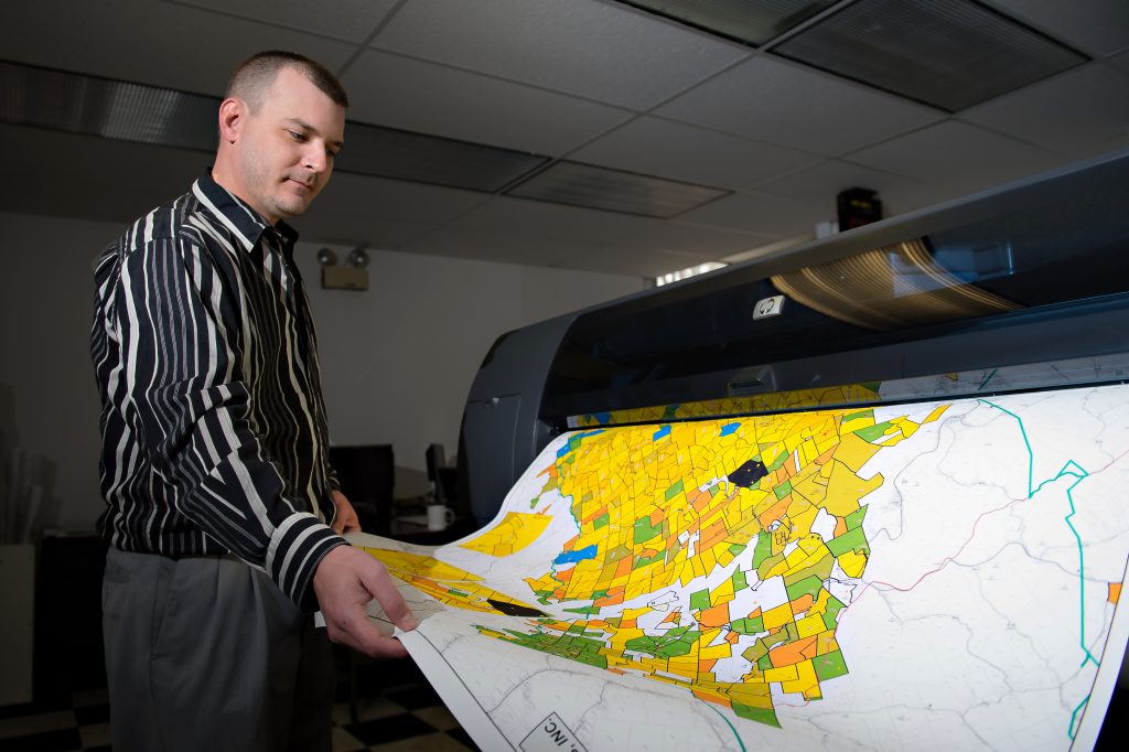
S & A’s mapping department uses the latest equipment and technology to produce accurate, timely maps and map products. We primarily use ArcGIS, the industry standard, for our mapping needs. This allows us to seamlessly integrate database and spreadsheet information into our maps. S & A has up to date parcel and well data for much of the Appalachian Basin and beyond. We have shown just about any type of data available on our maps, including aerial imagery and topographic information. Our maps are fully customizable. We tailor the maps to meet our clients’ needs.
Our mapping department serves as an invaluable tool to our title abstractors. Our completed title abstracts contain professional plats and well spot maps. The plethora of information our mapping department has at our fingertips helps ensure that our title abstracts get completed more quickly and accurately than any other brokerage firm. We will gladly print any and all maps for our clients, using our professional 42” plotters. More commonly